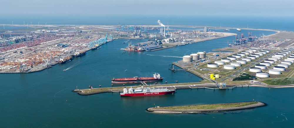
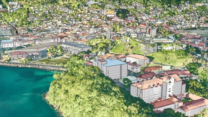
The Rotterdam Port Authority wants to enable autonomous shipping within the port by 2030. To reach this goal, Esri is building a digital twin of the port, which includes data about the infrastructure objects, shipping movements, weather conditions and hydrological readings.
A few projects contribute to the Port Authority’s ambition to enable autonomous shipping within the port of Rotterdam by the year 2030.
An important step in this process is the development of the port’s ‘digital twin’. This digital version incorporates all manner of data about the port area, including all infrastructure objects, shipping movements, weather conditions and hydrological readings.
The first phase of this project got underway in 2018 with the development of an IoT cloud-based platform in partnership with IBM, Esri Cisco and Axians. This platform allows users to access a variety of hydrological and meteorological data – for example, water levels, salinity, wind speeds, visibility and currents – that has been collected with the aid of sensors.


